At SL VOYO, Sri Lanka’s first travel platform, we help travellers discover Sri Lanka through experiences that go beyond basic sightseeing. Whether you are joining our tours or planning your own journey, this is your friendly guide to exploring the island in a simple and meaningful way.
Sri Lanka is a small island, but it has a rich and diverse landscape. You can travel from mountains to beaches within just a few hours. This makes the country unique compared to many other destinations.
The island’s geography includes highlands, plains, rivers, and coastal areas. Each region has its own climate and natural beauty. Understanding this helps travellers explore Sri Lanka more easily.
Central Highlands: The Mountain Region
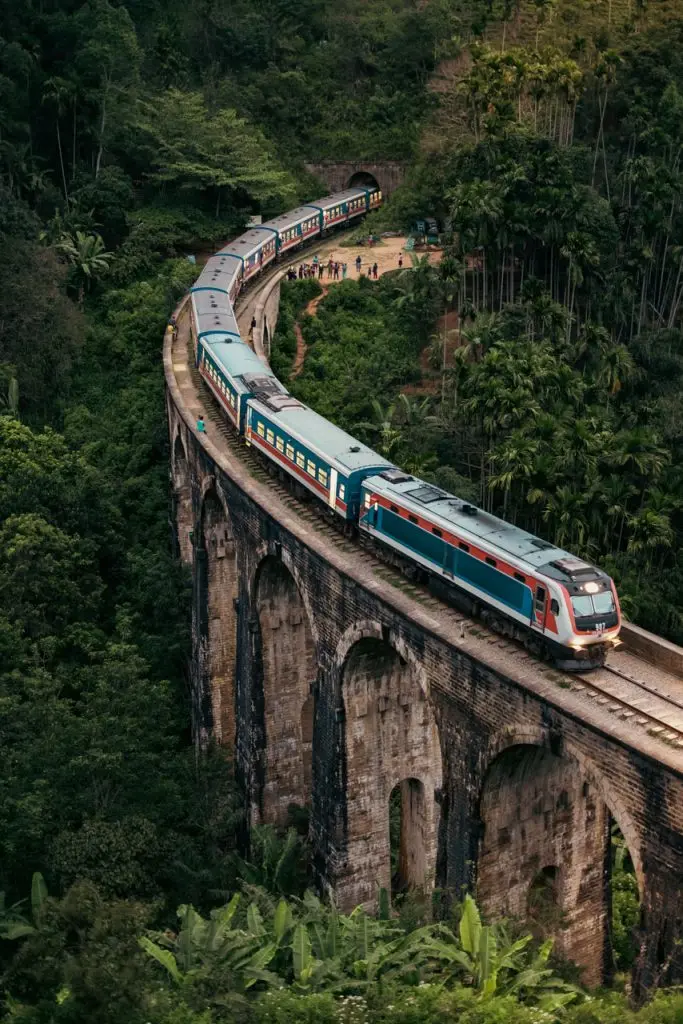
The central highlands are located in the middle of the island. This region includes the highest mountains and cooler weather compared to other areas. It is known for its scenic views and tea plantations.
Many important rivers start from these mountains. The area also has waterfalls and forests, making it ideal for nature lovers. Popular places like Nuwara Eliya and Ella are found here.
Plains of Sri Lanka
Most parts of Sri Lanka are covered by plains. These areas are generally flat and are important for farming and daily life. Different plains have different climates across the island.
The south-west is green and rainy, while the north and east are drier and warmer. These regions support agriculture, wildlife, and local communities.
Rivers and Waterfalls
Sri Lanka has more than 100 rivers flowing across the island. Most of these rivers begin in the central highlands and flow towards the sea. They are very important for farming, drinking water, and electricity.
The longest river in Sri Lanka is the Mahaweli River, which flows for about 335 km. It plays a major role in irrigation and hydropower projects across the country.
Sri Lanka is also famous for its waterfalls. The tallest waterfall is Bambarakanda Falls, which is about 263 meters high. Another well known waterfall is Diyaluma Falls, the second tallest, known for its natural pools at the top.
These rivers and waterfalls not only support daily life but also attract many visitors. They are popular for sightseeing, photography, and enjoying nature.
Coastal Areas and Beaches
Sri Lanka is surrounded by the Indian Ocean, giving it a long coastline with beautiful beaches and lagoons. These coastal areas are popular for relaxation, water activities, and scenic views.
There are two main travel seasons for beaches. The south and west coasts are best visited from November to April, while the east coast is ideal from May to September. This allows travellers to enjoy good weather almost all year round.
Some of the most popular tourist beaches in Sri Lanka include Bentota, Unawatuna, Mirissa, Arugam Bay, and Nilaveli. Each beach offers a different experience, from surfing and whale watching to calm waters and family friendly stays.
Coastal regions are also important for fishing and local livelihoods. They offer a perfect mix of natural beauty and cultural experiences for visitors.
Climate and Geography
Sri Lanka’s geography directly affects its climate. The central mountains divide the island into wet and dry zones. This creates different weather patterns across regions.
The south-west receives more rain and stays green throughout the year. The north and east are usually hotter and drier, especially during certain seasons.
Practical Travel Tips
When exploring Sri Lanka, it is important to plan based on geography. Different regions have different weather and conditions. Being prepared will make your trip more comfortable.
We care about our people. That’s why we offer Heartfelt Expedition
What is it?
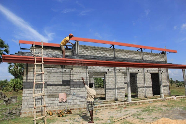
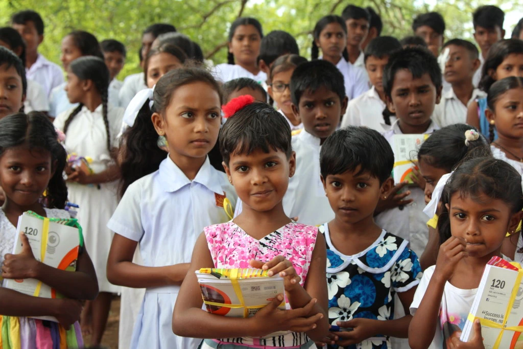
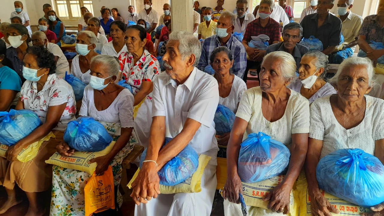
Google Ranked #1, the Heartfelt Expedition is a unique tour that invites tourists to personally engage in charitable events from the perspective of a local donor. Participants will be involved in school initiatives, elderly adoption, and community assistance throughout Sri Lanka.
Discover authentic culture and make a difference by helping local communities.


